Exploring ICT solutions for snow and avalanche assessments
Beitragsinhalt
The motivation for this exploratory study came from the observed increasing demand for up-to-date information on snow conditions and avalanches in decision-making processes. In the context of ICT4snow the technical feasibility of a web-based snow-and-avalanche platform has been evaluated.
The data that is processed on the ICT4snow-platform comprises information on stability of the snowpack and other current snow characteristics which are measured, analyzed and visualized. IT-experts provided a stable server infrastructure and implemented interfaces in order to integrate this data from different (heterogeneous) sources. This provided the basis for a prompt exchange of specific information packages with the end-users of this web-platform.
To additionally assess the technical feasibility, the value of the system’s information for the end-user was evaluated, based on their long-term experience.
Development of the ICT4snow-platform
The choice of an agile software development framework was established in order to support a web-based platform with dynamic integration of heterogeneous data. It was conducted by using interfaces, which allow the assignment of proven systems, commonly employed by the end-users. Therefore no additional work has to be done by institutions/persons providing this data.
Due to the extended data basis, information can be exchanged faster and more targeted. However, this 1:1 integration of different data sources sets high demands for the technological infrastructure of ICT4snow. For example, data of different formats are processed, the analysis of snow cover and avalanche forecast information should be prompt, and the results have to be available for end-users in a timely and readily available format.
Integrated data sources
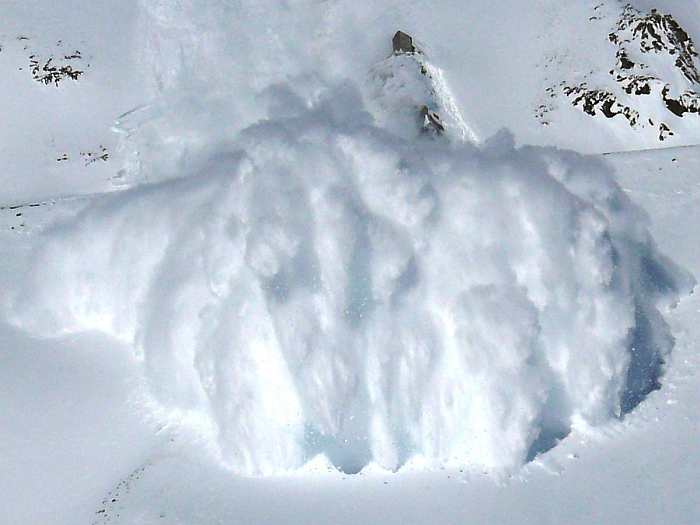
- Current snow and avalanche situation (e.g. avalanche danger level, observations on drifting snow) recorded and documented by mountain and ski guides and managed in a database and information system of the Alpincenter Lech (Wikisnow)
- Combination of numerical weather forecasting models with terrain data in high temporal and spatial resolution (MetGIS)
- Real-time weather data collected by mobile mini-sensors in the field
- Stability assessments of snow cover from classic hand hardness profiles and novel probes that digitally record and store snow intrusion resistance
- Recordings of time-lapse cameras for the documentation of ski tracks
- Imagery from thermal smartphone cameras to detect people buried in an avalanche
- High-resolution optical satellite imagery (Sentinel-2), which is made available to end-users in a prompt and user-friendly manner via a web application developed in ICT4snow.
Summary
Based on a stable server structure and newly created interfaces, data from different sources could be integrated and a real-time flow of information could be implemented. This was subjected to an intensive practical test in close cooperation between IT technicians, practitioners and researchers in a ski area.
The resulting added-value of easier and faster access to information should now form the basis for a follow-up project. In addition to further technical improvements and innovations, aspects such as data relevance and quality, confidentiality and conditions of use will be considered.
Download
Practice partner